Scent goes Cold at Ashton
Well prim my primroses; another adventure along the Way. It all started at Cold Ashton, a small village just off the main A46 Bath Road and my starting point for this week's jaunt.
Having parked the car, I examined the nearby Cotswold Way signs.
They pointed in two directions; but bore no legend as to destinations. I desired to return towards Dyrham Woods and so join up with my last end point.
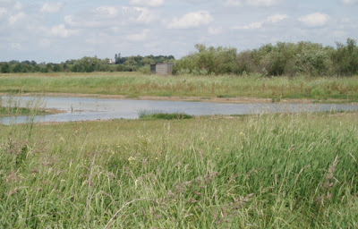
I made a decision and headed downhill, to cross the Bath Road and then make my way uphill along a narrow road. This, in turn reached woodland and thence into fields, with an lake on the left, for the express purpose of fishing (all fish to be returned to the water once caught).
The climb was steady; but the environment was peaceful and all was calm.
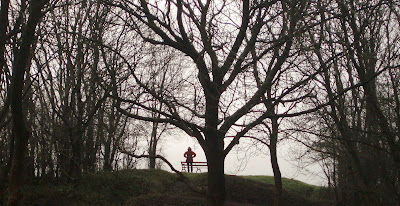
I was especially pleased to find that some kindly person had supplied a bench at the top of a rise; just right for coffee and sandwiches.
Above is a part of the panorama, viewed from the bench.
Whilst munching on the sarnies and slurping the coffee, I checked the walk with reference to my guide book and guess what; I had gone the 'wrong way' and was heading for Bath.
I reasoned, however that all the ground needed to be covered and so I went forward.
Eventually, after a short while, I reached a stone stile, which had information, relating to the field ahead, which was the site of the Civil War battlefield of Lansdown Hill 1643.
Further information can be found at :
http://www.battlefieldstrust.com/resource-centre/civil-war/battleview.asp?BattleFieldId=21
I crossed into this field and walked to the intersection of site and main road; passing the monument to Sir Bevil Granville, who was in charge of the Cornish Infantry and died at this spot.
I thus had a marker point for the continuing voyage to Bath.
Next week, I hope to fill in 'the hole' and reach the other side of Dyrham Wood.
Finally with the hope that spring soon arrives, here is a picture, sent by a friend, of our national treasure.
Enjoy.

Ciao4now
Ck.
bath+view.jpg)


Comments
Post a Comment
please feel free to comment and point out faults.
glad to have you aboard .
Curlykale.